MTN Emission Eye
Port Decarbonization Solution
Satellite-powered AI solution providing real-time, independent emissions measurement for sustainable port operations and regulatory compliance.
Satellite-powered AI solution providing real-time, independent emissions measurement for sustainable port operations and regulatory compliance.
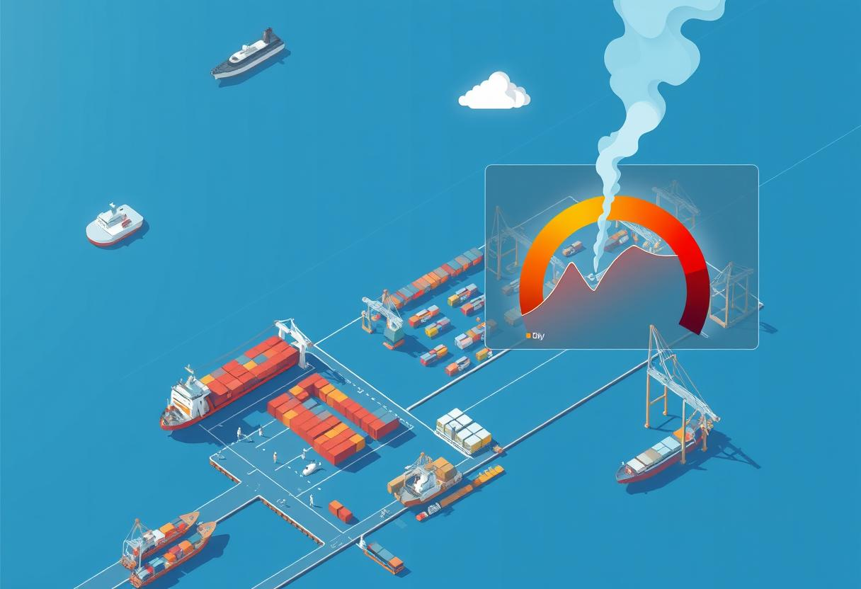
Port authorities face the daunting task of decarbonizing their facilities while grappling with the complexities of monitoring emissions across vast areas.
Our satellite-derived AI solution empowers port authorities with near real-time emissions measurement, offering an independent data source.
Satellite Image modeling AI solution to provide actionable and reliable emissions data
2x - 2.5x less than IoT based systems. Independent footprint calculation eliminating reliance on error-prone source data.
Customizable for <5 mins emergency response and forecast for >5yrs long-term trends with bird-eye visuals.
Total carbon fund potential through MTN solution: approx. 150M - 500M (based on Singapore port and vessel numbers).
Chlorophyll and O2 measurement through spectrum analysis. Marine debris detection and volume calculation remotely.
5k worldwide ports coverage potential. 2,000 km satellite sweep depth range with 1-3 days frequency.
Machine learning algorithms with automated and in-person support. Advanced spectrum analysis for precise emissions detection.
CO2e through satellite image modeling
Ship owners through maritime intelligence data
AI model maps emission footprint in $/ton CO2e
Funds allocated for e-fuel production, renewable energy
Join leading ports worldwide in implementing transparent, cost-effective emissions monitoring solutions.